What is Pressure Altitude?
What is Pressure Altitude?
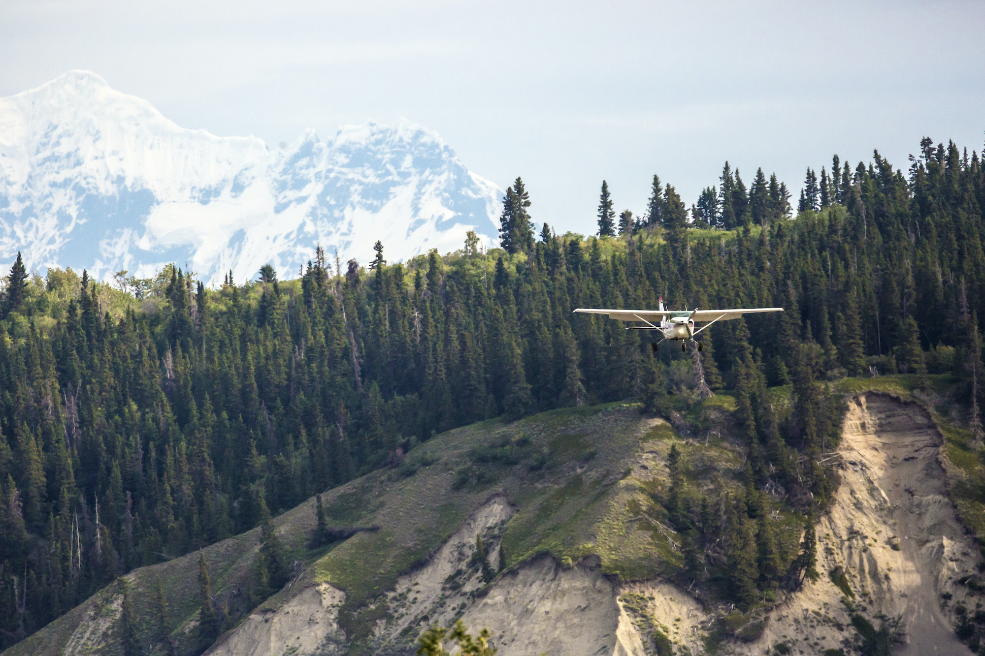
Pressure Altitude unites all new pilots—in confusion. But it’s really pretty simple. Let’s break it down!
Measuring Atmospheric Pressure
Pressure Altitude compares air pressure at any given altitude to standard pressure.
Let’s start with a quick review of air pressure. Air pressure is simply the weight of air pushing down on us. As our altitude increases, whether in an airplane or by driving up a mountain, the amount of air above us decreases and so the air pressure drops. We can feel even relatively small changes in air pressures when our ears “pop”.
In U.S. aviation, atmospheric pressure is measured in inches of mercury (inHg or “Hg), a unit that harks back to 17th century mercury barometers, which were simple constructions consisting of a vacuum-sealed glass tube resting in a petri dish filled with mercury. Atmospheric pressure forces the mercury up the tube and the height of the mercury in inches indicates the air pressure. Although “low tech”, these barometers were the standard for centuries and remained in use long after jets began gracing the skies.
The actual atmospheric pressure at sea level varies immensely. It could be 29.82” in Houston while it’s 30.01” in Honolulu. The atmosphere—like the rest of the planet—is in motion, the primary driving force being uneven heating from the sun. Even within a single county, sea level pressure can vary considerably. But for practical purposes, 29.92” is the established standard.
But while sea level pressure varies dramatically across locations, and throughout the day, it decreases very predictably with an increase in altitude, just like water pressure decreases predictably as you swim up from the bottom of a pool. This means that if we know the air pressure at any altitude, we can approximate it for any other altitude above or below it. If we know the pressure at 4,000 feet, we can quickly calculate the air pressure at sea level or at 10,000 feet.
At relatively low altitudes, every 1,000 foot increase in altitude reduces atmospheric pressure by roughly 1”, and therefore every .01” change on the mercury scale represents 10 feet of altitude change. If the air pressure is 25.82” at 4,000 feet above sea level in Honolulu, we can approximate that it’s 29.82” at sea level and 19.82” at 10,000 feet. Obviously this rule of thumb is less accurate as we climb. The standard pressure at 36,000 feet is NOT -6.08 inHg! 😉
Altimeters are calibrated using this standard pressure of 29.92”, and this is why we must constantly recalibrate our altimeters to compensate for non-standard pressure. Aircraft operating in the flight levels (above FL180 in the U.S.) calibrate their altimeters to standard pressure because airplanes are moving across areas of different atmospheric pressure so quickly that it’s unrealistic to constantly readjust altimeter settings. Additionally, manufacturers use the standard sea level pressure (along with a temperature standard of 15ºC) as a reference for performance information.
Pressure Altitude = Height Above Standard Pressure
Back to our original focus: what is pressure altitude? Pressure altitude is simply our height above standard pressure. If we’re at sea level and the atmospheric pressure is 29.92”, our pressure altitude is 0 feet. If, instead, it’s 29.82”, our pressure altitude is 100 feet. If it’s 30.02”, our pressure altitude is -100 feet. Negative altitude?? That’s the thing: pressure altitude is a performance concept. The conceptual line of 29.92”, which may or may not actually exist in the atmosphere on a given day, is referred to by the FAA as the Standard Datum Plane (SDP). Pressure altitude is nothing more than our height above or below the SDP.
This is an important concept for several reasons:
- Pressure altitude is a component of density altitude, which is used to approximate aircraft performance
- It’s easy to get confused in performance calculations, especially for those of us less numerically inclined, and a working knowledge of pressure altitude mitigates against this
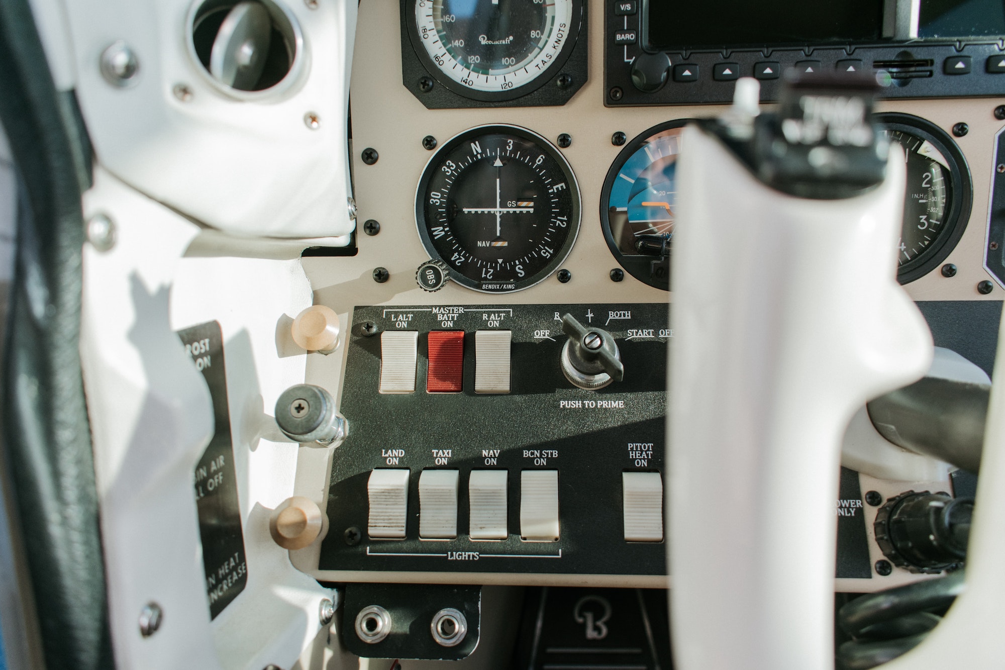
- Sometimes we need to actually read our pressure altitude on the altimeter (e.g. operating in the flight levels)
- Equipment is sometimes reliant on cabin altitude (e.g. cabin altitude alerting systems in transport category airplanes)
Applying the Pressure Altitude Concept
We’re finishing our preflight at the Auburn Municipal Airport (KAUN) which is 1,538 feet above sea level. What would we expect the atmospheric pressure to be on a standard day? Somewhere around 28.38” right? (29.92” – 1.538”). But what would the altimeter setting be? Almost certainly much, much higher.
We monitor the AWOS on 119.375 and learn that the altimeter setting is 30.02” Hg. Why is this? In short, weather stations are not directly telling us the atmospheric pressure at field elevation, because that’s not the information we need. We need to know what sea level pressure is so that we can calibrate our altimeters to show field elevation.
Instead of transmitting the actual pressure at field elevation, the AWOS station measures the pressure at the field and then applies the standard pressure lapse rate to approximate what the pressure would be at sea level. In other words the station measures 28.48” and then corrects for the field elevation of 1,538’ to arrive at an altimeter setting of 30.02”, that way when we set our altimeters, it indicates our height above sea level. Obviously there is no actual sea level pressure in that column of air—there’s over a thousand feet of ground in the way and the nearest coast eight miles west.
But we’re not quite done yet! Before we depart we’ll be calculating our takeoff performance. And while the AWOS is often helpful by simply telling us the density altitude, which is what many performance charts reference and the more accurate determinant of performance, we may have to calculate our pressure altitude manually first.
We calculate our pressure altitude by first finding the SDP. The difference between sea level pressure and the SDP pressure is 30.02” – 29.92”, or 0.1”. In other words, 100 feet. Is the sea level pressure 100 feet higher or lower than the sea level? Well, atmospheric pressure decreases with altitude. So, with a sea level pressure of 30.02”, the SDP will be located at 100 feet above sea level, resulting in a pressure altitude that is actually 100 feet lower than the airport elevation!
Why not skip the AWOS and simply set the altimeter to field elevation? In a pinch that would work! The issue is two-fold. First, if there are calibration issues with our altimeter we will not know. And secondly, if we’re arriving, instead of departing, we don’t actually know our altitude except with reference to the altimeter!
In Conclusion
- Standard pressure is 29.92 inHg at sea level and decreases by approximately 1” for every 1,000 feet of altitude gain.
- Pressure altitude is the height above or below the Standard Datum Plane (SDP) which is simply the conceptual line of standard pressure.
- Pressure altitude is used in performance calculations and instrumentation, and we should understand it sufficiently so that we can identify significant performance or instrumentation errors. In other words, we should understand it well enough that we can “dummy check” our calculations!
We hope you found this lesson helpful! Questions? Reach out!